 3D scanning
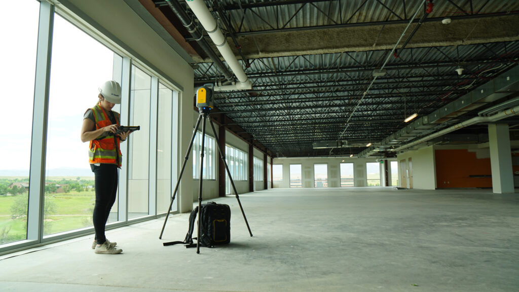
3D laser scanning, also known as terrestrial laser scanning (TLS), is a powerful and innovative technology used in land surveying. It involves the use of a laser scanner to capture highly accurate and detailed three-dimensional data of the land surface and objects within the survey area. This data is then processed to create a comprehensive digital representation of the surveyed site.
In 3D laser scanning, the scanner emits laser pulses that bounce off the surveyed surfaces and return to the scanner. By measuring the time it takes for the laser pulses to travel and return, the scanner calculates the distances and positions of numerous points on the surveyed objects. This process is repeated millions of times per second, generating a massive point cloud dataset that represents the spatial geometry of the surveyed area.
The benefits of 3D laser scanning in land surveying are numerous. Firstly, it offers exceptional accuracy, often within millimeter-level precision, resulting in highly reliable and detailed survey data. Secondly, it significantly reduces the time and effort required for surveying, as it captures a vast amount of data in a short period. This technology also enhances safety by minimizing the need for surveyors to physically access hazardous or inaccessible areas. Additionally, 3D laser scanning allows for the creation of detailed 3D models, which can be used for visualization, analysis, and various engineering applications.

In summary, 3D laser scanning revolutionizes land surveying by providing highly accurate and detailed data in a quick and efficient manner. It is an invaluable tool for professionals in the fields of construction, architecture, engineering, and urban planning, enabling them to make informed decisions based on precise measurements and comprehensive visualizations.
 Other Services

LAND CONSOLIDATION
Land consolidation is a process carried out in the public interest to spatially and functionally organize land parcels, consolidate or divide them, and ensure accessibility and utilization of land while aligning their boundaries. The objective is to create conditions for the rational management of landowners.


